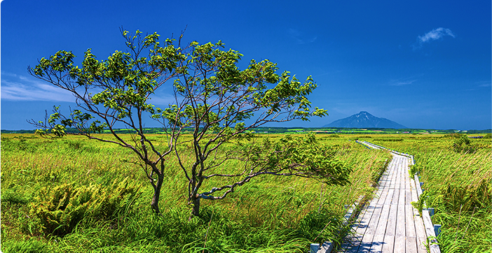
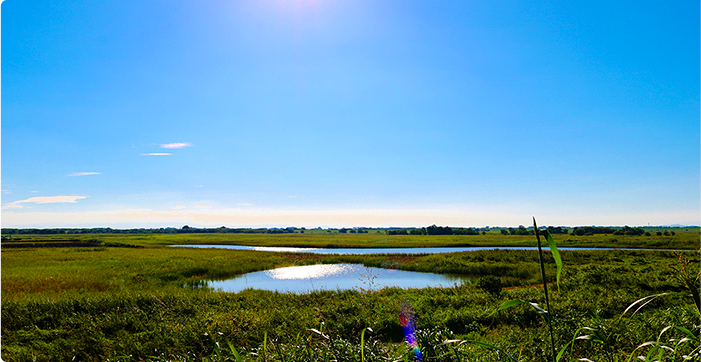
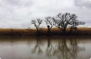
Sarobetsu Wetland
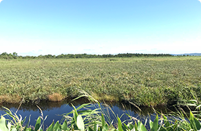
Sarobetsu wetland is a vast peatland at the northern tip of Hokkaido representing one of the largest high moors in lowland plains. The wetland degraded seriously and rapidly due to large-scale peat mining development since 1960’s. Sphagnum restoration from microbial perspective is part of this undertaking.
VIEW MORE
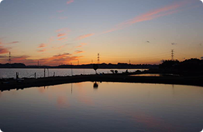
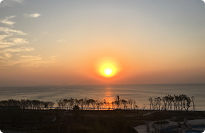
Sakata
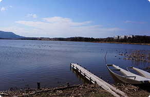
Sakata is a freshwater lake without river inflow but is fed by groundwater. It is a wintering site for migratory birds such as swans, geese and ducks. More than 3000 Tundra Swans winter here every year.
VIEW MORE
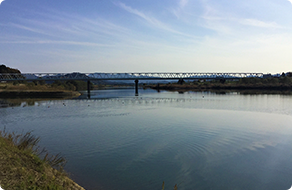
Shinano River
The Shinano River is the longest and widest river in Japan, also known as the Chikuma River in its upper reaches. The river has repeatedly burst its bank in the past, causing severe damage in its river basin. The latest major flood disaster in the upper reaches occurred in 2019 caused by Typhoon No. 19. It can be considered a battle field for better flood risk management.
VIEW MORE
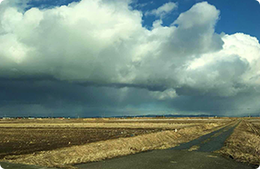
Watarase Retarding Basin
Watarase Retarding Basin was built to control flooding and contain the heavy metals spilled out from the Ashio Copper Mine more than 100 years ago. Today, the WRB includes a 3,300 ha reed bed, and is one of the largest reed wetlands in Japan. It is home to 1,000 species of plants, 1,700 species of insects, and 252 species of birds although heavy metal residues remain in the soil. Visitors can enjoy a variety of recreation activities including water sports, cycling, fishing, firework shows and sports events.
VIEW MORE
Lake Tega
Lake Tega, located in Chiba Prefecture, Japan. It is a shallow lake with a mean depth of 0.9 m, and its surface area and volume are 6.5 ㎢, 5.6 ×10⁶㎥, respectively. The area of the lake’s watershed is 16,270 ha and about 485,000 people live in the watershed. Due to urbanization in the watershed and lagging behind of sewer system construction, large amounts of pollutant loadings entered the lake in the 1970s. As a result, Lake Tega became the worst lake in Japan in 1974 in terms of COD and the title of the worst lake in Japan remained for the subsequent 27 years.
VIEW MORE
Tama River

Tama River stretches from the foothills of Yamanashi Prefecture to the waters of Tokyo Bay in Ota Ward. The river scape varies from mountain stream rich in valley beauty in the upstream to gravel and sandbar in the middle reaches and undergoes noticeable change in urbanized downstream reaches. Kingfishers, white wagtails, spotbills, Japanese white-eyes, and black-headed gulls are among birds often seen at the river. Various types of ducks have made a comeback after the 1969 designation of the river as a wildlife protection zone.
VIEW MORE
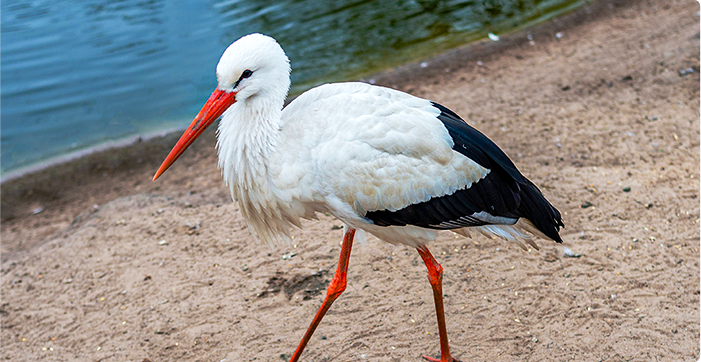
Maruyama River
The Maruyama River is a class 1 river in northern Hyogo Prefecture, running 68 km through Toyooka, cutting through mountains and emptying into the Sea of Japan. It provides habitats for the wild Oriental White Storks, the symbolic bird of Toyooka City. In 2012, the Lower Maruyama River and the surrounding rice paddies was registered under the Ramsar Convention.
VIEW MORE
Kabukurinuma
The Kabukurinuma flood retarding basin and the surrounding rice paddies is a registered Ramsar site. It has a rich plant community including rare species such as Penthorum chinense and Monochoria korsakowii. Every year in winter, up to 40,000 ducks and geese visit the area to winter.
VIEW MORE
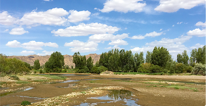
Heihe River

Heihe River is the second largest inland river in China’s northwest region, 928 km long with a river basin area of 25,600 ㎢, flowing through three provinces, Qinghai, Gansu and Inner Mongolia. Although the annual precipitation in the middle reaches is around 100-200 mm, it has a long history of large scale agriculture. Therefore, water resources development and utilization in the Heihe River basin is representative in arid and semi-arid regions of China.
VIEW MORE
Gaomei Wetland
The Gaomei Wetland is sited on the western edge of Taiwan, and it is one of the most well-known wetland habitats in Taiwan. There are 105 species of plants from 27 genera living in the wetland. The two iconic plants in Gaomei Wetlands are Bolboschoenus planiculmis and the endemic Hygrophila pogonocalyx. Every year around fall and winter, large flocks of migrating birds would come here for either short or long stay over the winter, serving as the best spot for bird-watching.
VIEW MORE
Chao Phraya River
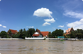
The Chao Phraya River is the largest river in Thailand. Its basin covers an area of 159,000 ㎢, accounting for 30% of Thailand’s land surface area, hosting 40% of the country’s population, and generating 66% of the Gross Domestic Product (GDP). Flood disaster and water pollution have been the central issues in the management of the river course.
VIEW MORE
Kerala
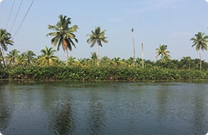
Kerala is a state on the southwestern Malabar Coast of India. Geographically, Kerala can be divided into three climatically distinct regions: the eastern highlands; rugged and cool mountainous terrain, the central mid-lands; rolling hills, and the western lowlands; coastal plains. There are 44 rivers in Kerala, entirely monsoon-fed and many of them may shrink into rivulets or dry up during summer. Some of the major rivers in Kerala are hot travel spots. In August 2018, Kerala was hit by a big storm causing a large numbers of fatality and property damage.
VIEW MORE